On bike in the province
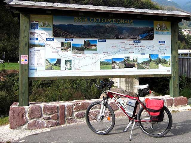
VALSASSINA CYCLE ROUTE
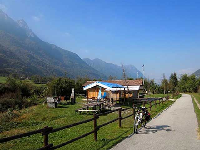
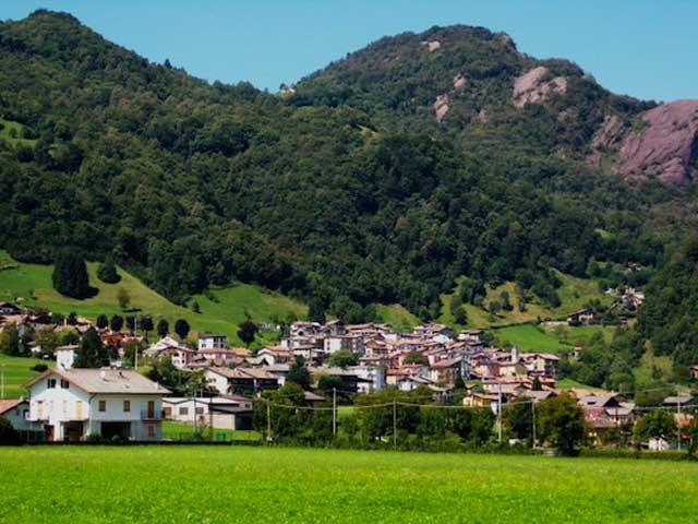
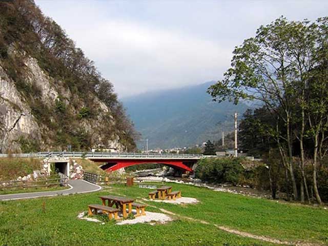
This trail is ideal for the entire family. A blissful cycle on a safe route that allows travellers to admire the mountains of Valsassina, discovering some of the most beautiful and well-hidden corners of the Pioverna river.
It starts at the so-called “Chiusa” of the Valsassina (570 mt) before reaching the village of Introbio.
The route snakes down the bank of the Pioverna and will take you to the village of Prato san Pietro/Cortenova (478 mt).
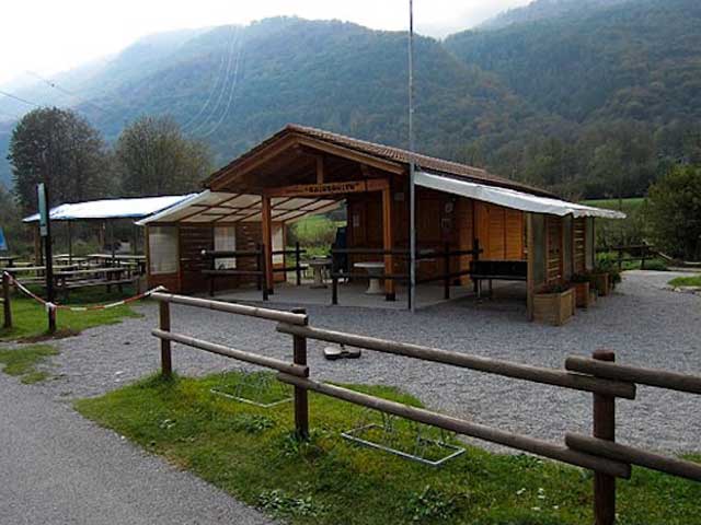
The entire cycle route is paved and easy to travel on and it is ideal for organizing picnics, swims in the river and further sport activities such as horse-back riding at one of the many riding schools dotted along the trail.
Length: 13 Km round trip – Slope: 92 mt – Travel time: half an hour – Difficulty level: easy
LOW CROSSING
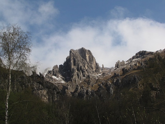
A highly enjoyable trail crossing the Grigne on medium mountain trails framed by the changing scenery typical of the area.
It starts from the village of Ballabio (690 mt) and after cycling 14 bends on paved street you’ll get to the Resinelli plains (1284 mt). From here reach the “Soldanella” alpine refuge (1349 mt), from where – with a number of slight changes in slope – you’ll get to a sign indicating the low crossing (=Traversata bassa).
Continue cycling on unpaved track across the woods till you pass the farm called “Pian delle Fontane” (1380 mt), after a short ride which will lead you across the Pioverna river (1077 mt) the trail crosses a path leading to the housing of Pialeral.
Proceeding among ascents and descents across woods and lawns you’ll pass the small Church “Regina Pacis” till you’ll reach the hamlet of Pasturo (630 mt). From here take the road SP 62 to return to your starting point.
Length: 36 Km round trip – Slope: 1050 mt – Travel time: 4 hours – Difficulty level: medium
ALONG THE RIVER ADDA, NORTHERN ADDA PARK
A trail that does not require particular physical fitness and accompanies bikers down the right bank of the Adda.
The starting point is the Olginate sports field.
Cycling down the main road you’ll reach the railway bridge, where the road becomes unpaved.
After skirting a few fields admiring the beauty of the Grigne and Resegone reflected in the waters, you’ll pass the village of Brivio with its castle, the bridge connecting the Lecco with the Bergamo sides of the river and Imbersago, where you may see – still working - the manual ferry designed 5 centuries ago by Leonardo da Vinci.
After passing the gorge housing the Robbiate dam, the “Eco-Museum” of Leonardo begins: a trail consisting of 14 stops of cultural-historical significance.
Soon afterwards you’ll reach the imposing iron bridge of Paderno d’Adda, 80 mt high, which offers a breathtaking view on the canyon underneath.
After crossing the Adda you’ll get in Capriate san Gervaso, where there is the interesting village of Crespi d’Adda: an artificial village conceived, dreamed, designed and built by Crespi towards the end of 1800 for the employees of his cotton mill.
The houses, public facilities, services, schools etc were part of a unique design that can still be visited today.
Length: 30 Km round trip – Slope: 120 mt – Travel time: 1 hour and 30 minutes – Difficulty level: easy
CLIMB OF GHISALLO
The climb starts from Bellagio, between the 3rd kilometer and the town of Guello there is the most hard part, characterized by 7 narrow bends and some long straight stretches, with slopes up to a 14%.
In some stretches you may catch a beautiful glimpse of the lake with the Grigna in the background reflecting into the water.
In the last 2 kilometers the road starts to climb with an average slope of more than an 8%, then finally around the last bend you can see the outline of the Sanctuary.
The best professionals can manage to fulfill the trail in less than 20 minutes.
Length: 17 Km round trip – Slope: 471 mt – Travel time: 35 minutes – Difficulty level: very hard


